
Cette page n'a pas encore été traduite et s'affiche en anglais.
Omogo Gorge
Recherche et rédaction Hinato

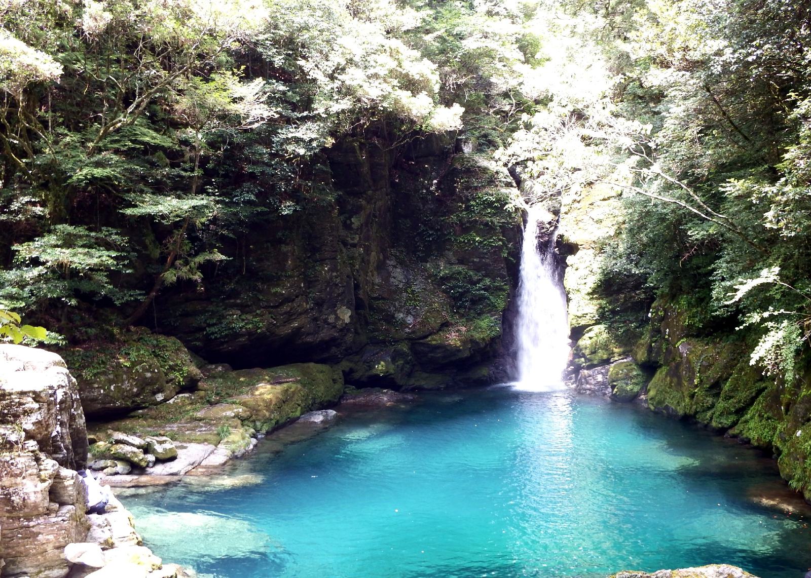
Omogo is the gorge at the foot of Mt. Ishizuchi, the highest mountain in western Japan, cut into granite so that the riverbed is pale rock and the water over it reads green. It is a national Place of Scenic Beauty and sits inside the Ishizuchi Quasi-National Park at the entrance to the Ishizuchi Skyline.
Two walking routes leave the car park. The main-stream route runs past Goshiki-gahara, Momiji-gahara, Kumafuchi and Tora-ga-taki and takes about two hours there and back; the Teppo-gawa route follows a quieter tributary past a campsite. The full set of sights takes half a day. The water is cold and clear enough that people swim in it in August, and the gorge is one of the main approaches to Ishizuchi for climbers.
Informations essentielles
Horaires d'ouverture
Open access | Daylight only
Fermé: Open year-round | Skyline and upper roads close in winter
Tarif d'entrée
Free | Free parking for around 50 vehicles
Meilleure saison
Late April–May for fresh green | August for the cool water | Late October–November for autumn colour
Durée de visite
2 hours for the main route | Half a day for the full gorge
Comment s'y rendre
Informations d'accès
Guide d'initié
Lieux à proximité
Les lieux secrets les plus proches de Omogo Gorge, par distance à vol d'oiseau.
 Illustration — il ne s'agit pas d'une photographie
Mount Ishizuchi
Little knownMount Ishizuchi (石鎚山, 1,982m) is the highest peak in western Japan and one of Japan's seven sacred mountains, a Shugendo…
Yasui Gorge
Little knownYasui runs up the north of Niyodogawa town and holds the pool that most people mean when they talk about the colour of t…
Bessho Onsen (Ehime)
Little knownBessho Onsen is a secluded hot spring resort nestled in the mountains near Mt. Ishizuchi, known for its milky-white sulf…
Iwayaji
Little knownIwayaji is the forty-fifth station of the Shikoku pilgrimage and one of the hardest — the walk up from the road is twent…
 Hiroaki Kaneko / CC BY-SA 3.0
Nakatsu Gorge
Little knownNakatsu is the Niyodo gorge you can walk into. A 1.3-kilometre path runs up the ravine from the entrance to Uryu Falls,…
 Dokudami / CC BY-SA 4.0
Niyodo River
Little knownThe Niyodo River is often called 'Niyodo Blue' (仁淀ブルー) for the surreal, transparent turquoise color of its water — a col…
Plus de lieux à Préfecture d'Ehime
 osamu tanaka / CC BY-SA 3.0
Futami Seaside Park
Little knownThe Futami coast faces due west across the Iyo-nada, and the town built a park around that single fact. There is a 380-m…
Kirosan Observatory Park
Little knownKirosan is a 301-metre hill at the southern tip of Oshima, looking down on the Kurushima Strait — one of the three faste…
Kurushima Strait Tidal Cruise
Little knownThe Kurushima Strait is one of the three fastest tidal channels in Japan, alongside Naruto and Kanmon, and the current t…