
Kochi · Shimanto
33.0058°N, 132.9394°E
The Shimanto River is crossed by 47 chinkabashi — low-slung, railing-free concrete bridges designed to be submerged during floods. The name means 'sink bridge,' and the design philosophy is simple: rather than build tall, expensive bridges that might be destroyed by typhoon-driven floods, build low, simple spans that let water pass over them. When the river rises, the bridges disappear underwater for days; when it recedes, they emerge unscathed.
Driving or cycling across a chinkabashi is a unique experience — the road surface is barely a meter above the river, there are no railings, and the sensation is of driving on the water itself. The most famous and photogenic is Iwama Chinkabashi, a 120-meter span with views upstream to forested hills and downstream to rice paddies. Other notable bridges include Sada Chinkabashi (291 meters, the longest) and Katsuma Chinkabashi (the lowest and most flood-prone).
Essential Information
Opening Hours
Bridges and river access 24 hours. Shimanto City Tourism Center (e-bike rental): 9:00 AM – 5:00 PM. Check bridge flood status before visiting — posted online and at the tourism center.
Closed: Bridges close automatically when the river floods (no permanent closure, but seasonal flooding July–September can submerge bridges for 24–48 hours after heavy rain). Tourism center closed Wednesdays.
Entrance Fee
Free access to all chinkabashi. E-bike rental ¥1,500/day from Shimanto City Tourism Center. Canoe tours ¥6,500/person (April–October). No parking fees at bridge viewing areas.
Best Season
May–June for fireflies along the riverbanks at dusk. October–November for clear skies and autumn foliage. Avoid July–September typhoon season when bridges may be flooded. Winter is quiet and photogenic.
Visit Duration
Drive to see 2–3 bridges: 2–3 hours. Full cycling route (20km, 3–4 bridges): 5–6 hours. Combine with a canoe tour for a full day on the Shimanto River.
Getting There
Access Information
Insider Guide
Nearby Spots
The closest hidden gems to Shimanto Sink Bridges, by straight-line distance.
Shimanto River
The Shimanto River flows 196 kilometers from the mountains of western Kochi to the Pacific, and is famously called 'Niho…
Tatsukushi Coast
Tatsukushi is a shore of eroded sandstone laid down in the Paleogene and worked by the sea into shapes that have all acq…
Tojindaba Megaliths
On a plateau above Cape Ashizuri, in an area that has produced stone tools and pottery from the early Jomon period aroun…
Ashizuri Cape
Ashizuri Cape is the southernmost point of Shikoku, a granite headland wrapped in subtropical vegetation and surrounded…
Nametoko Gorge
Nametoko is a granite gorge in the Ashizuri-Uwakai National Park where the river runs over continuous sheets of smooth r…
Kashiwajima Island
Kashiwajima is a small island off the coast of Tosashimizu, surrounded by some of the clearest water in Japan. The islan…
More in Kochi
Yasui Gorge
Yasui runs up the north of Niyodogawa town and holds the pool that most people mean when they talk about the colour of t…
Aki Nora-dokei and Doi Kachu
In 1887 a young landowner in Aki called Hatakeyama Taichi bought a clock, took it apart to work out how it functioned, a…
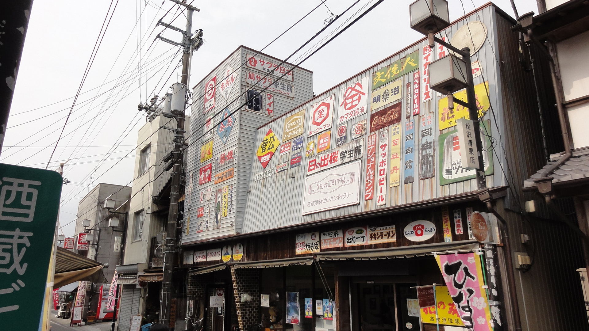
Kure Taishomachi Market
Kure is a bonito port and this market, a covered lane a hundred metres long a couple of minutes from the harbour, is whe…