
本页尚未翻译,暂以英文显示。
Cape Hedo
调查与撰写 Hinato

Photo: Kugel~commonswiki / Wikimedia Commons (CC BY-SA 4.0) · original
The northern tip of Okinawa Island, where the East China Sea and the Pacific meet over a shelf of raised coral limestone, with cliffs dropping to the water and Yoron island visible on a clear day. It is the end of Route 58, which runs the length of the island from Naha, and it feels like it.
The cape carries a specific political weight. Between 1945 and 1972 Okinawa was under American administration and the border with Japan ran through the sea here; people gathered on this headland and on Yoron opposite to light bonfires and shout across the water. A monument to reversion stands on the point. There is a visitor centre from 2019 with a viewing deck, both free, and the walking paths across the limestone are made up and safe for children.
基本信息
营业时间
Cape open at all times | Visitor centre keeps daytime hours
公休: Open year-round
门票
Free | Free parking for around 70 cars | Visitor centre and observation deck free
最佳季节
Year-round | Winter for the clearest view of Yoron
建议停留
45–60 minutes
如何前往
交通信息
独家私藏情报
邻近景点
距离Cape Hedo最近的私藏景点,按直线距离排序。
Daisekirinzan
Little knownThe limestone at the northern tip of Okinawa was laid down about two hundred and fifty million years ago and has weather…
 Ray_go / CC BY-SA 3.0
Gesashi Mangrove Forest
Locally knownThe largest mangrove stand on Okinawa Island is at the mouth of the Gesashi river in Higashi, on the Pacific side of Yan…
 690 Noda / CC BY 3.0
Nakijin Castle Ruins
Well knownNakijin Castle (今帰仁城跡) is a gusuku (Ryukyuan castle/fortress) ruin atop a 100-meter hill commanding views over the East…
 690 Noda / CC BY 3.0
Bise Fukugi Tree Road
Little knownFukugi is a dense evergreen with thick leathery leaves, and Okinawan villages planted it in rows around every house as a…
 Hideto KOBAYASHI / CC BY-SA 2.0
Churaumi Aquarium
Well knownOkinawa Churaumi Aquarium houses the world's second-largest aquarium tank (after Dubai) — the Kuroshio Sea tank holding…
Blue Cave
Well knownThe Blue Cave (青の洞窟, Ao no Dokutsu) is a partially submerged sea cave near Maeda Point where sunlight filtering through…
更多冲绳县的景点
 kanegen / CC BY 2.0
Katsuren Castle Ruins
Well knownKatsuren stands on a limestone ridge on the Katsuren peninsula and was the seat of Amawari, a lord who rose from nothing…
 Renate Hano / CC BY-SA 4.0
Zakimi Castle Ruins
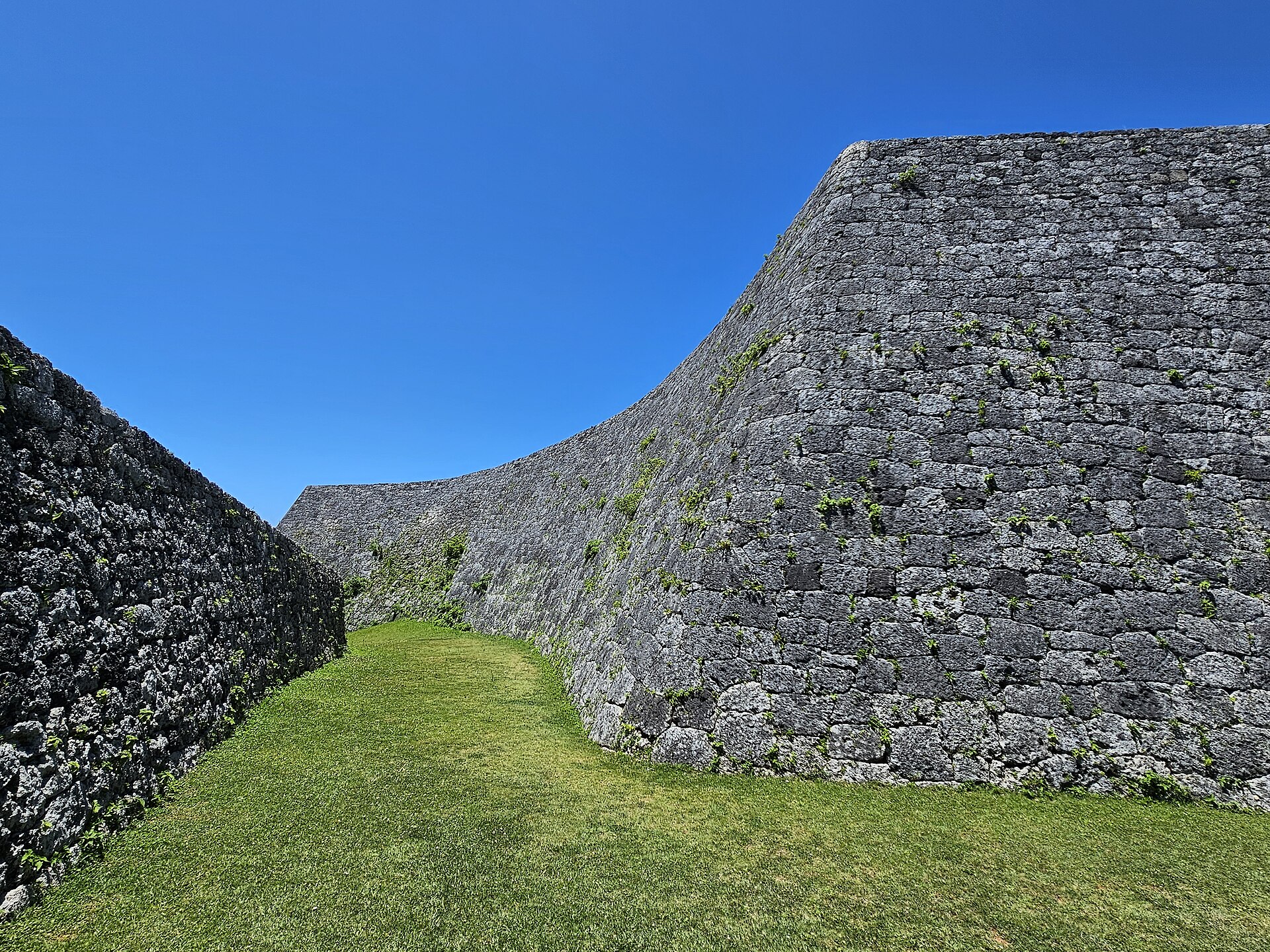
Well knownZakimi is the smallest of the World Heritage gusuku and the one built by the man generally regarded as the best military…
Yachimun no Sato
Little knownOkinawan pottery is called yachimun and it was concentrated in Tsuboya in Naha until the 1970s, when smoke regulations i…