
本页尚未翻译,暂以英文显示。
Kamishikimi Kumanoimasu Shrine
调查与撰写 Hinato

Photo: Ann Lee / Wikimedia Commons (CC BY-SA 2.0) · original
The approach to Kamishikimi Kumanoimasu runs uphill through cedar forest between ninety-seven moss-covered stone lanterns, and the light coming down through the trees onto them is why photographs of it circulate constantly. Behind the shrine buildings, a further climb leads to Ugeto-iwa, a hole blown clean through a cliff more than ten metres across and high.
Legend holds that the god Takeiwatatsu kicked it open. The rock is now a place people pray at for getting through difficulties — the hole being the thing that could not be got through, and was. It is a small shrine in a village in southern Aso with no facilities and a free car park, and the climb to the rock is steep enough that shoes matter more than most visitors expect.
基本信息
营业时间
Open at all times | Daylight for the upper path
公休: Open year-round
门票
Free | Free parking
最佳季节
Year-round | After rain for the moss | Avoid ice on the upper path
建议停留
60–90 minutes
如何前往
交通信息
独家私藏情报
邻近景点
距离Kamishikimi Kumanoimasu Shrine最近的私藏景点,按直线距离排序。
 ブルーノ・プラス / CC BY 4.0
Shirakawa Spring
Little knownThe Shirakawa river, which runs through the middle of Kumamoto City, starts here — sixty tonnes a minute coming up out o…
 Yamaguchi Yoshiaki from Japan / CC BY-SA 2.0
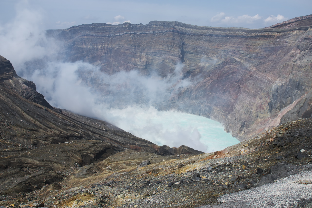
Mt. Aso Nakadake Crater
Well knownMt. Aso is one of the world's largest active calderas (25km across) containing five volcanic peaks. Nakadake is the only…
Aso Shrine
Well knownAso Shrine, established in 281 AD, is one of Japan's oldest Shinto shrines and was famous for its three-story gate tower…
Aso Aka-Ushi (Red Cattle) BBQ
Little knownAso Aka-ushi (阿蘇赤牛) is a regional cattle breed raised on the volcanic grasslands of Mt. Aso. Unlike heavily marbled wagy…
 sk01 / CC BY-SA 3.0
Hakusui Dam
Locally knownHakusui is an irrigation weir, 14 metres high and 87 metres across, built between 1934 and 1938 on the upper Ono river,…
Daikanbo
Little knownDaikanbo is a promontory on the northern rim of the Aso caldera at 936 metres, and from it the whole basin is visible at…
更多熊本县的景点
 User: (WT-shared) Shirakawa-yobune at wts wikivoyage / CC BY-SA 1.0
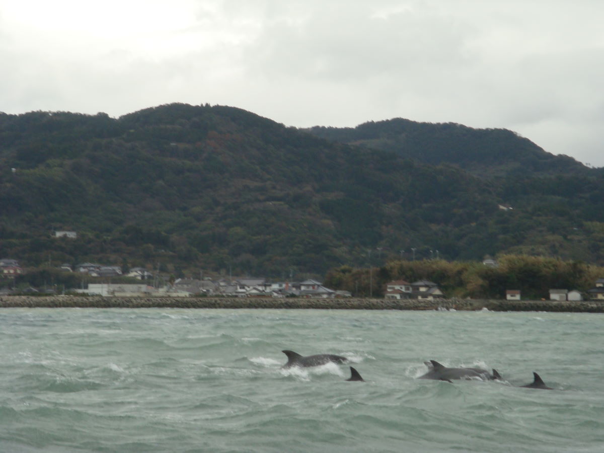
Amakusa Dolphin Watching
Little knownAbout two hundred wild Indo-Pacific bottlenose dolphins live year-round in the strait off Futae in northern Amakusa, and…
 松岡博文 / CC BY 3.0
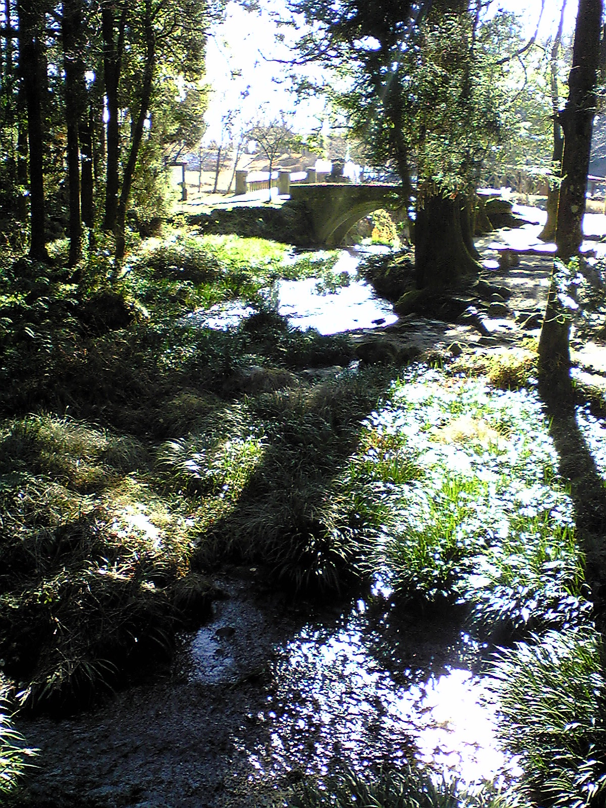
Ikeyama Spring
Little knownIkeyama is a spring in the far north-east corner of Kumamoto, in the village of Ubuyama on the outer rim of the Aso cald…
 Totti / CC BY-SA 4.0
Tsujun Bridge
Locally knownThe plateau at Yabe had no water. In 1854 the village headman Futa Yasunosuke had this built to get it there: a stone ar…