
Jogakura Bridge
Researched and written by Hinato

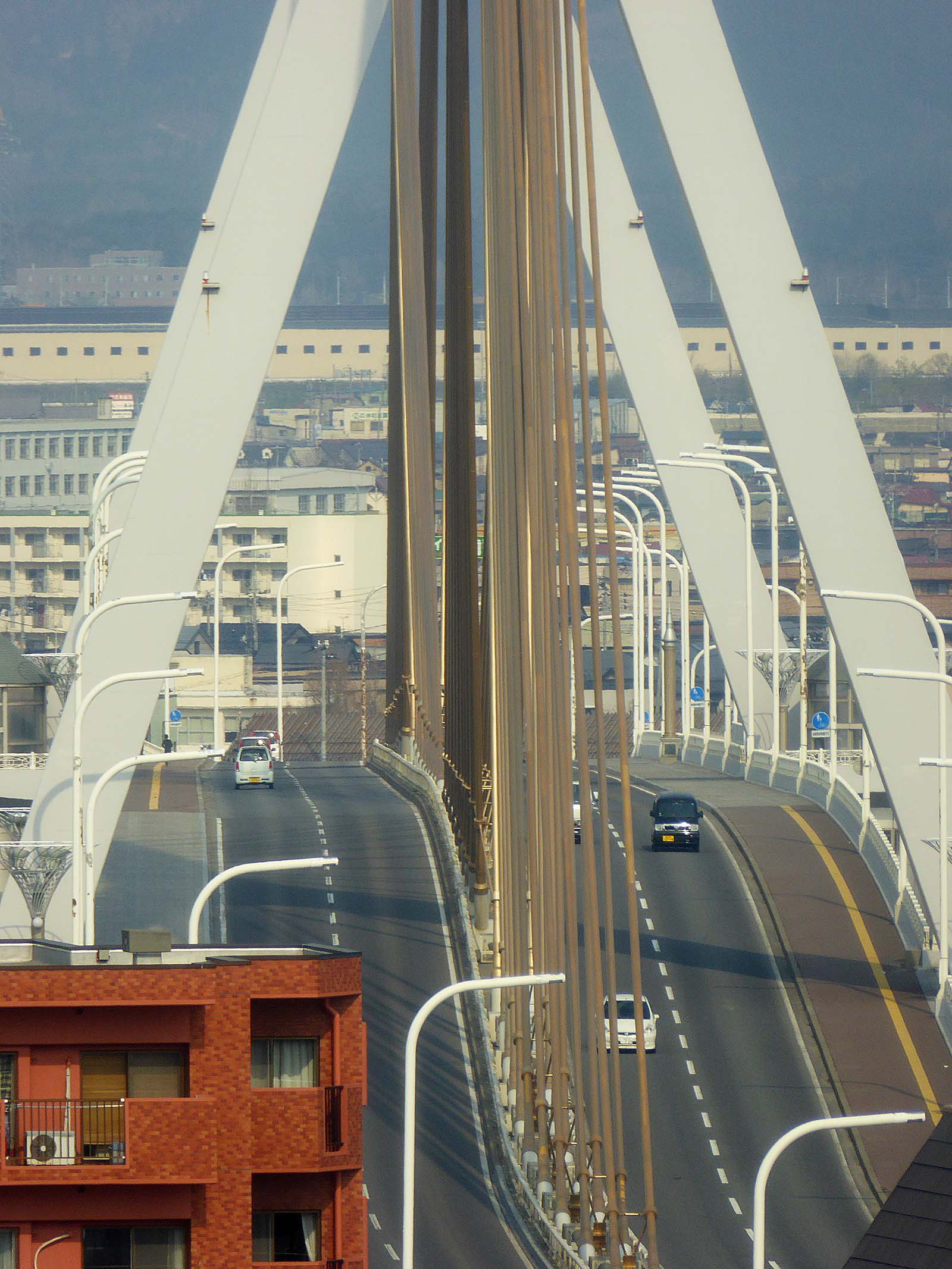
Photo: ゆりのき橋 / Wikimedia Commons (CC BY 3.0) · original
Jogakura Bridge (城ヶ倉大橋) is a 360-meter-long arch bridge spanning Jogakura Gorge at a height of 122 meters, making it Japan's longest upper-deck arch bridge. The bridge connects Route 103 across a dramatic valley forested with beech and maple trees, creating one of Tohoku's premier autumn color viewing spots. Late October transforms the gorge into a sea of red, orange, and yellow foliage, with the white bridge arching above like a ribbon across the colorful abyss.
The bridge was completed in 1995 to replace a narrow, dangerous mountain road. Its engineering is impressive — the arch spans nearly the entire gorge width without support pillars, minimizing environmental impact. Pedestrian sidewalks on both sides allow visitors to walk out onto the bridge and look straight down into the gorge, 122 meters below. The vertigo-inducing view is thrilling, and the 360-degree panorama includes Mt. Hakkoda's peaks in the distance.
A viewing platform at the bridge's southern end includes a small observation deck, parking area, and souvenir shop. The platform extends over the gorge, offering unobstructed photography angles. The bridge's white paint contrasts beautifully with the autumn foliage, making it a favorite composition for landscape photographers.
The gorge itself is carved by a stream that eventually feeds into the river systems draining the Hakkoda volcanic group, and the beech forest lining its slopes is part of the same broader forest cover that gives the Hakkoda range its reputation as one of Tohoku's premier hiking and skiing destinations. Because the road across the bridge sits at meaningful elevation, the gorge below often holds onto morning mist well after the surrounding highlands have cleared, and photographers who arrive early sometimes catch the valley half-filled with fog threading between the turning leaves before it burns off — a very different scene from the crisp, fully visible gorge that most visitors see by mid-morning. The bridge's isolation, with no settlements nearby and only forest and mountain in every direction, also means the drive itself, independent of the bridge as a destination, is treated by many visitors as one of the more scenic stretches of mountain road in the prefecture.
Practical details
Opening Hours
Open 24/7 (bridge and viewing platform) | Viewing platform shop: 9:00 AM – 5:00 PM (seasonal)
Closed: Route 103 closed November–April due to heavy snow (bridge inaccessible)
Entrance Fee
Free
Best Season
Late October (peak autumn foliage, Oct 20–28) | Open late April–early November
Visit Duration
30-60 minutes (bridge walk + viewing platform)
Getting There
Access Information
Jogakura Bridge, Route 103, Aomori City (technically Aomori-Towada boundary). A drive from Aomori City or a drive from Towada City. Parking: free at viewing platform (south end) and bridge rest area (north end). Pedestrian access on bridge: free, open 24/7. Best season: late October for autumn colors. No public transportation — rental car required. Viewing platform has restrooms and small shop (9:00-17:00, seasonal).
Tips
Autumn color timing: Peak foliage occurs late October (typically Oct 20-28), with ±5 days variation depending on temperature. The gorge's elevation (800m) causes colors to peak 5-7 days earlier than Aomori City lowlands. Check Aomori Prefecture's autumn color forecast (published early October) for real-time updates. Weekends during peak are extremely crowded — parking fills by 9:00 AM, causing road backups. Weekday visits (Mon-Thu) reduce crowds by 70%. Arrive early (7:00-8:00) or late afternoon (15:00-16:00) to avoid midday congestion.
Photography strategy: Use wide-angle lenses (16-35mm) to capture the bridge with mountains beyond. Telephoto lenses (70-200mm) compress the foliage layers, creating dense color. Overcast days provide even lighting ideal for foliage — avoid midday sun which creates harsh shadows. Morning (7:00-9:00) offers soft light from the east; afternoon (14:00-16:00) backlights the foliage from the west.
Bridge walk: Walking across the bridge (360 meters) takes 10 minutes each way. The pedestrian path is separated from car traffic by a barrier. On windy days, the bridge sways slightly (safe, but unsettling). The north end has a smaller rest area with parking and vending machines.
Driving route: Hakkoda, Sukayu Onsen, and forests. Budget: depart Aomori 7:00 AM → Jogakura Bridge 7:50 → Oirase Gorge 9:00 → Lake Towada 13:00 → return to Aomori 17:00.
Winter closure: Route 103 closes November-April due to heavy snow (Hakkoda receives 5-8 meters annually). The bridge is inaccessible during winter. Summer (July-August) offers green forest views — pleasant but far less dramatic than autumn.
Safety note: The bridge path is exposed to wind. Hold cameras and phones firmly — dropping objects from the bridge is dangerous (to people below and environment). Children should be supervised closely. The height is intimidating for those with acrophobia — if uncomfortable, view from the platform instead of walking the bridge.
Nearby onsen: Sukayu Onsen (酸ヶ湯温泉, 15 minutes north) offers milky sulfur baths in the famous 1,000-tatami bath. Day-use bathing: ¥1,000, 7:00-17:30. Perfect post-bridge relaxation.
Crowd management: Peak season weekends see 2,000+ visitors, causing parking chaos. If parking is full, continue north to Sukayu Onsen and return to Jogakura after 13:00 when crowds thin. Alternatively, visit on a weekday or arrive at dawn (6:30-7:00) — the sunrise light on autumn foliage is spectacular and parking is empty.
Book Your Stay Nearby
Find accommodation close to Jogakura Bridge on these trusted booking platforms:
Nearby Spots
The closest hidden gems to Jogakura Bridge, by straight-line distance.
 z tanuki / CC BY 3.0
Aomori Bay Bridge
Little knownThe Aomori Bay Bridge (青森ベイブリッジ) is a 1.2-kilometer cable-stayed bridge spanning Aomori Harbor, completed in 1994 as par…
 D-Chillz / CC BY-SA 4.0
Takayama Inari Shrine
Little knownEveryone photographs the tunnel of torii at Fushimi Inari in Kyoto, packed shoulder to shoulder. Takayama Inari has some…
 Gfievet / CC BY-SA 4.0
Tanesashi Coast
Little knownThe unusual thing about Tanesashi is that the grass runs to the rocks. Natural turf — grazed by horses for centuries, wh…
 Wc018 / CC BY-SA 4.0
Akita Nairiku Line
Little knownThe Akita Nairiku Line runs ninety-four kilometres north to south through the middle of the prefecture, from Takanosu to…
 あおもりくま / CC BY-SA 3.0
Mount Osore
Little knownMount Osore (恐山, Osorezan — 'Dread Mountain') sits on Shimokita Peninsula as one of Japan's three holiest Buddhist sites…
 yuukin / CC BY 3.0
Seikan Tunnel Museum
Little knownThe Seikan Tunnel (青函トンネル) is a 53.85-kilometer railway tunnel connecting Honshu (Aomori) to Hokkaido (Hakodate) beneath…