
หน้านี้ยังไม่ได้แปล จึงแสดงเป็นภาษาอังกฤษ
Tokuyama Dam
ค้นคว้าและเขียนโดย Hinato

Tokuyama holds 660 million cubic metres of water, the largest reservoir capacity of any dam in Japan — roughly twice the volume of Lake Hamana. It is a rockfill dam, 161 metres high and 427 metres along the crest, completed in 2008 on the upper Ibi river after a construction programme that ran for decades.
Under the water is Tokuyama village, which was dissolved and its residents relocated so the reservoir could be filled. That fact sits behind the scenery and is why the visit is not simply about engineering scale. The crest is open as a walkway, there is a viewpoint over the whole structure, and the road up follows the drowned valley. It is about eighty minutes from Ogaki through increasingly empty country.
ข้อมูลสำคัญ
เวลาเปิดทำการ
Site accessible in daylight | Facilities generally 9:00 AM – 5:00 PM
วันหยุด: Approach road affected by winter conditions
ค่าเข้าชม
Free
ฤดูที่ดีที่สุด
Late October–November for autumn colour | Late April–May for fresh green
ระยะเวลาเที่ยวชม
60–90 minutes
การเดินทางไป
ข้อมูลการเดินทาง
คู่มือจากคนใน
สถานที่ใกล้เคียง
สถานที่ลับที่อยู่ใกล้ Tokuyama Dam มากที่สุด เรียงตามระยะทางเส้นตรง
Kegonji
Little knownKegonji is the thirty-third and final temple of the Saikoku pilgrimage, the oldest pilgrimage route in Japan, and it is…
Kamigare Tea Terraces
Little knownKasuga, in the mountains of western Gifu, has grown tea since the sixteenth century, and at Kamigare the fields climb a…
 藤谷良秀(Yoshihide Fujitani) / CC BY-SA 4.0
Ryusogataki Falls
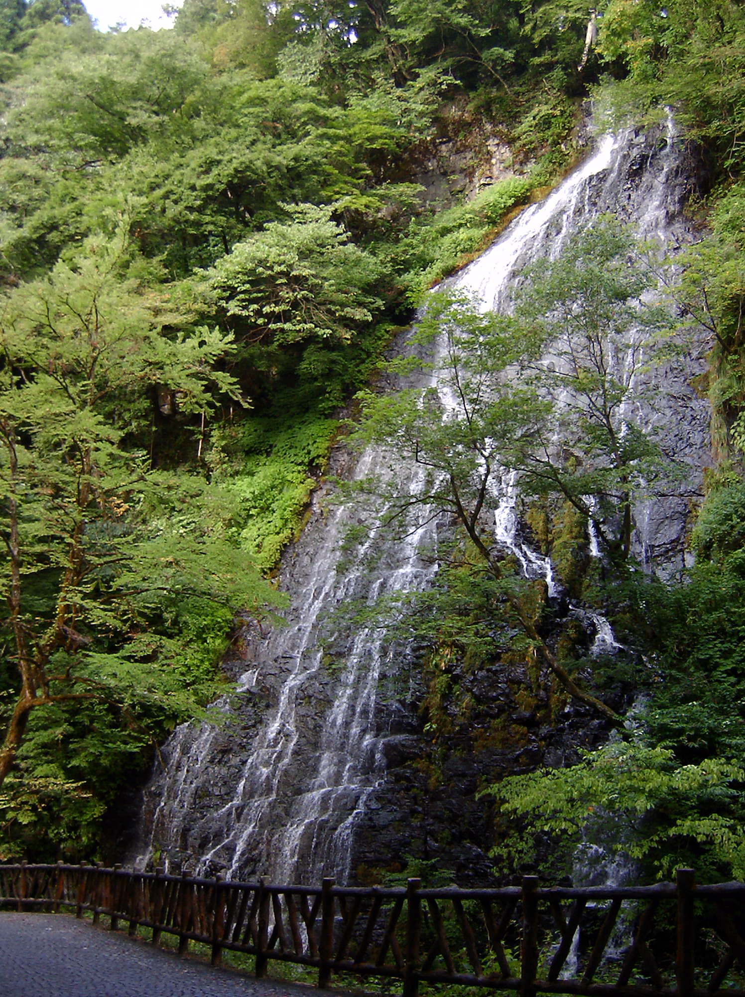
Little knownSixty metres of water down a rock face in a narrow valley in Ikeda, one of the least populated municipalities in Fukui,…
 663highland / CC BY 2.5
Kinomoto Jizoin
Little knownKinomoto Jizoin is a temple to the eyes. Its Jizo has been venerated for sight for centuries, and outside the hall stand…
Monet's Pond
Little knownA small unnamed pond beside Nemichi Shrine in the Itadori valley, fed by spring water clear enough that the koi appear t…
 Raita Futo / CC BY 2.0
Mount Ibuki
Little knownIbuki stands 1,377 metres on the Shiga and Gifu border, alone rather than in a range, which is why it takes the full for…
สถานที่อื่น ๆ ในจังหวัดกิฟุ
 lienyuan lee / CC BY 3.0
Takayama Jinya
Well knownTakayama Jinya (高山陣屋) is the only surviving Edo-period provincial government office (jinya) in Japan, where Tokugawa sho…
 Raita Futo from Tokyo, Japan / CC BY 2.0
Hida Furukawa
Well knownHida Furukawa (飛騨古川) is Takayama's smaller, calmer sibling — a canal-lined town of white-walled storehouses, wooden town…
 そらみみ / CC BY-SA 4.0
Gero Onsen
Little knownGero Onsen (下呂温泉) is ranked among Japan's 'Three Great Hot Springs' (alongside Kusatsu and Arima) for its exceptionally…