
本頁尚未翻譯,暫以英文顯示。
Mt. Iwate
調查與撰寫 Hinato

Photo: 663highland / Wikimedia Commons (CC BY 2.5) · original
Mt. Iwate is a 2,038-meter stratovolcano dominating Morioka's skyline, nicknamed 'Nambu Fuji' for its symmetrical cone shape resembling Mt. Fuji. The mountain is Iwate Prefecture's namesake and symbol, appearing on everything from local products to city emblems. Three main hiking routes reach the summit, taking 4–6 hours round-trip. The most popular is the Yanagisawa Route (starting elevation 1,330m), which climbs through alpine meadows and volcanic rock fields. The summit offers 360-degree views of northern Tohoku, including the Pacific Ocean, Hachimantai highlands, and the Kitakami Mountains. The upper slopes above 1,600m are barren volcanic rock with alpine flowers blooming June–August. Lower slopes are forested with beech and mountain cherry. The mountain's west face features the remnants of the 1732 eruption's lava dome.
基本資訊
營業時間
Hiking trails: open during daylight (June–October climbing season) | Yanagisawa trailhead: accessible from 5:00 AM | Mountain huts near 7th station: typically 6:00 AM – 8:00 PM (reservation required)
公休: Trails: officially closed outside June–October season (snow/ice equipment required otherwise) | No gate closures but rescue service limited outside season
門票
Hiking: free | Parking at Yanagisawa trailhead: ¥500 | Mountain hut accommodation: ¥8,000–¥10,000 per night (meals included)
最佳季節
July–September for ideal summit conditions and alpine wildflowers | Sunrise hikes (start 4:00 AM) for dawn summit views | Avoid October onwards for first frost and reduced services | Early morning (6:00–7:00 AM) starts for summit before afternoon clouds form
建議停留
4–6 hours round-trip depending on route | Sunrise summit attempt: 8–10 hours total | Overnight at mountain hut reduces summit-day exertion
如何前往
交通資訊
在地私房情報
鄰近景點
距離Mt. Iwate最近的私房景點,依直線距離排序。
 Raita Futo from Tokyo, Japan / CC BY 2.0
Toshichi Onsen
Little knownToshichi sits at 1,400 metres on the flank of Hachimantai, the highest hot spring in the Tohoku region, and the water co…
 掬茶 / CC BY-SA 4.0
Koiwai Farm
Little knownKoiwai Farm is Japan's largest privately-owned pasture farm, covering 3,000 hectares of rolling hills used for dairy cat…
 Douglas Paul Perkins / CC BY 4.0
Hachimantai Aspite Line
Little knownThe Aspite Line runs twenty-seven kilometres across the Hachimantai massif from Gozaisho in Iwate to Toroko Onsen in Aki…
 Koda6029 / CC BY-SA 4.0
Hachimantai Plateau
Little knownHachimantai Plateau (八幡平) is a volcanic highland straddling the Akita-Iwate border, part of Towada-Hachimantai National…
Zaimokucho Yoichi
Little knownEvery Saturday afternoon from early April to late November, four hundred metres of Zaimokucho — a shopping street in cen…
 Yasu (talk) / CC BY-SA 3.0
Fukuda Pan
Little knownFukuda Pan has been making koppepan — a soft split bread roll — since 1948, originally supplying school lunches, and it…
更多岩手縣的景點
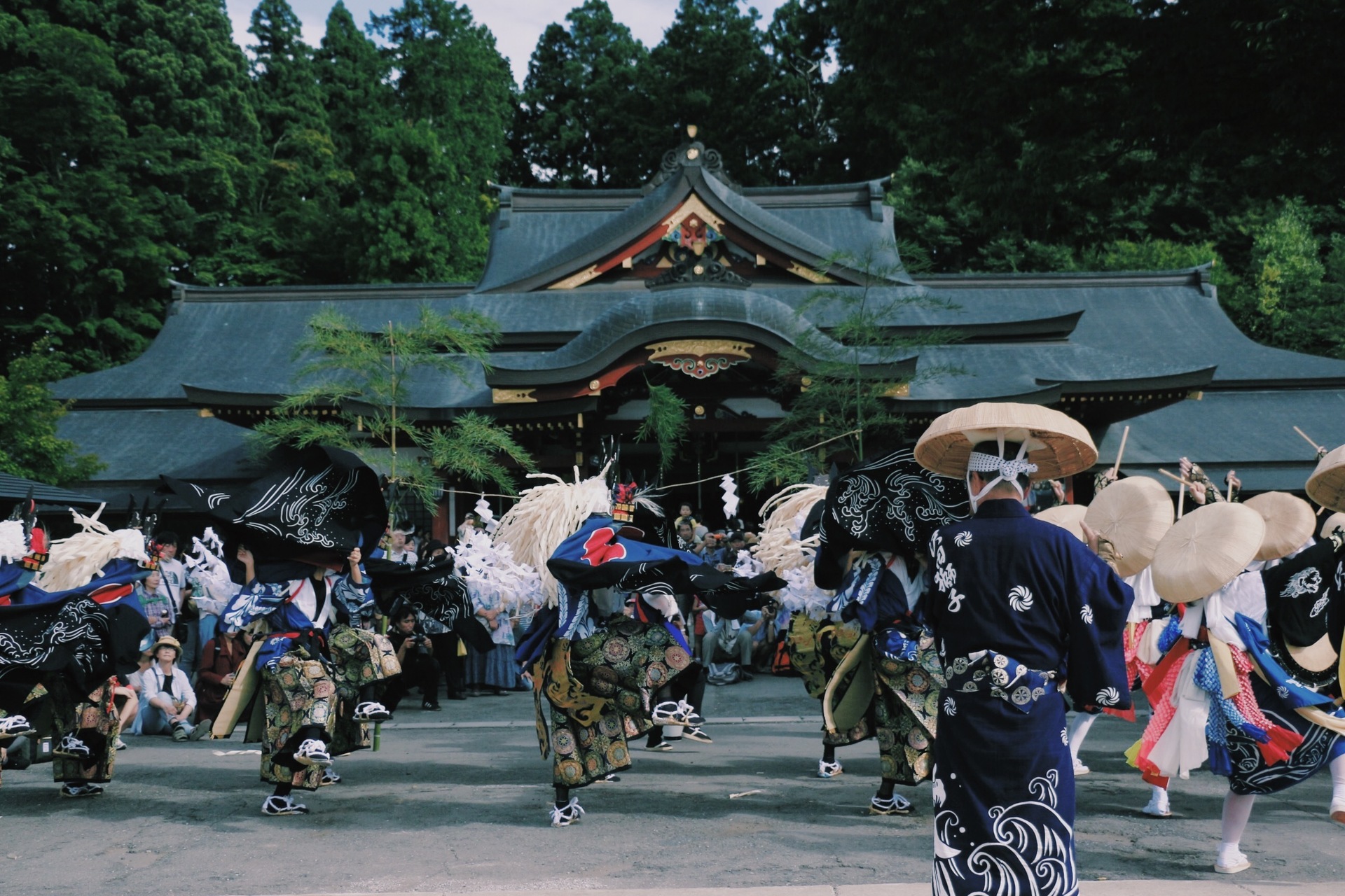 Cygnus_morioka / CC BY 4.0
Morioka Sansa Odori
Little knownMorioka Sansa Odori is one of Tohoku's greatest summer festivals, held August 1–4 annually. The festival features mass t…
Sanriku Coast
Little knownThe Sanriku Coast is a 250km stretch of dramatic Pacific coastline running through Iwate Prefecture, characterized by st…
 示意插圖(非實景照片)
Ryusendo Cave
Locally knownRyusendo Cave is one of Japan's three largest limestone caves, famous for its underground lakes of exceptional clarity a…