
Mount Osore
Researched and written by Hinato

Photo: あおもりくま / Wikimedia Commons (CC BY-SA 3.0) · original
Mount Osore (恐山, Osorezan — 'Dread Mountain') sits on Shimokita Peninsula as one of Japan's three holiest Buddhist sites, believed to mark where the living world meets the dead. Active volcanic vents hiss sulfur steam across gray wasteland crusted in yellow minerals. Boiling ponds bubble with acidic water. The stench of rotten eggs hangs thick. Buddhist tradition calls this jigoku (地獄, hell) — the landscape looks exactly like scroll paintings of the underworld.
Bodaiji Temple (菩提寺), founded in 862 CE, anchors the site. Grieving families pile stones into cairns along sulfurous pond shores, leaving toys, candy, and coins for wandering souls of dead children. During the summer festival (July 20–24), blind female mediums (itako, イタコ) channel the deceased in 15-minute séances. They've performed this service for centuries, speaking in the voices of the dead.
Beyond the volcanic wasteland, Usori Lake (宇曽利湖) spreads turquoise water across a caldera basin, white sand beaches ringing its shore. Buddhist cosmology calls this gokuraku (極楽, paradise). Hell and paradise share the same mountain, teaching that suffering and enlightenment can't be separated.
The mountain's role as a gateway between worlds predates its formal Buddhist framing, drawing on older regional beliefs about mountains as places where the dead reside, beliefs found across rural Tohoku but rarely expressed as literally as they are here. Pilgrims historically walked for days across Shimokita Peninsula to reach the site, and the remoteness that made the journey difficult is part of why the place retained its unsettling atmosphere rather than becoming a conventional tourist temple. Even now, with a paved road bringing visitors most of the way, the last stretch on foot through the sulfur vents and past the stone cairns feels deliberately unmediated — there is little signage, few concessions to comfort, and the smell and sound of the volcanic ground are impossible to ignore. Families who return year after year to add stones to a particular cairn, or to leave a new pinwheel spinning in the wind beside an old one, give the site a continuity of private grief that visitors passing through for an afternoon can sense even without understanding the specific rituals involved.
Practical details
Opening Hours
6:00 AM – 6:00 PM (open May–October only); free sulfur bathhouse on grounds open same hours
Closed: Closed November–April due to heavy snow; itako séances during summer festival July 20–24 only
Entrance Fee
¥500 temple admission; free sulfur bathhouse on grounds; itako séances ¥3,000–5,000 (Japanese only)
Best Season
May–June and September–October for good weather and smaller crowds; July 20–24 for itako summer festival
Visit Duration
1.5–2 hours to explore Jigoku Valley, Usori Lake, and temple grounds; add 30 minutes for the free sulfur bath
Getting There
Access Information
Mount Osore, Tanabu, Mutsu City. A bus from Shimokita Station (JR Ominato Line terminus, 2 hours from Aomori). Entry: ¥500, open May-October (closed November-April due to snow). Itako séances during summer festival (July 20-24, ¥3,000-5,000 per session, Japanese only). No English signage. Remote location — plan 4+ hours for round-trip from Aomori.
Detailed Access & Timing
Nearest Station
Shimokita Station (JR Ominato Line, terminus)
Travel Time
Tohoku Shinkansen from Tokyo to Hachinohe (approximately 2 hours 45 minutes), then JR Ominato Line to Shimokita Station (about 80 minutes, ¥1,240); bus from Shimokita to Osorezan 40 minutes (¥800)
How to Get There
JR from Hachinohe to Shimokita Station, then Shimokita bus to Osorezan; or rental car from Aomori/Hachinohe (about 3 hours)
Best Time to Visit
Spring (May–June) and autumn (September–October) for mild weather and solitude; confirm last return bus time (around 16:00) before departing
Crowd Avoidance Tips
One of Japan's most remote sacred sites; crowds are manageable except during the July 20–24 summer festival and mid-August Obon
Parking Information
Free parking at Osorezan entrance; rental car from Hachinohe is the most flexible option for the remote Shimokita Peninsula
Tips
Getting there: Last return bus leaves Osorezan at 16:00 — miss it and you're sleeping on volcanic rock. Full round-trip takes 6+ hours. Car rental (3-hour drive each way from Aomori) gives more flexibility but requires navigating mountain roads. Confirm bus times at Shimokita Station before heading up.
Exploring the grounds: Budget 1.5–2 hours. Bodaiji Temple's main hall sits at the entrance — traditional wooden architecture, incense smoke drifting. Stay on marked paths — the acidic water burns skin. Sulfur smell overwhelms some visitors — bring a handkerchief.
Itako sessions: Sessions cost ¥3,000–5,000, last 10–20 minutes, happen in Japanese. You tell the itako who died (name, relation). She closes her eyes, enters trance, and speaks as the deceased. Skeptics call it cold reading. Believers gain closure. Non-Japanese speakers can watch (ask permission first) but can't participate without fluency.
Shooting hell: Wide-angle lenses (16–35mm) capture Jigoku Valley's scale — steaming vents, yellow crusted ground, stone cairns spreading to mountains. Telephoto (70–200mm) isolates details — a single Jizo statue dressed in red bib, wisps of sulfur steam rising from cracks. Overcast days match the eerie mood. Sunny days make sulfur yellows and lake blues pop.
Buddhist cosmology: Dead children's souls wander Osorezan, unable to cross Sanzu River into the afterlife (Japanese equivalent to River Styx). Parents come to leave toys and candy, hoping to comfort their children's spirits. Each stone piled on a cairn earns merit, helping a soul move toward paradise. Jizo statues protect travelers and children — visitors dress them in red bibs and leave offerings at their feet. The practice blends Tendai Buddhism with local Ainu spirit beliefs.
Free hot spring: Yudokoro bathhouse sits on temple grounds — free sulfur baths, gender-separated, basic facilities. Bring your own towel or buy one at the shop (¥500). Bathing in volcanic water while surrounded by this otherworldly landscape adds another layer to the experience.
Peninsula combo: Oma Town (90 minutes north) sells bluefin tuna donburi (¥2,000–4,000) caught that morning. Hotokegaura (仏ヶ浦, west coast) displays white volcanic cliffs rising from sea, accessed by boat tour (¥2,500, 1 hour). Full peninsula requires two days minimum — one for Osorezan, one for coast.
Season limits: Open May–October only. Snow closes it November–April. Obon (mid-August) sees families visiting to pray for dead relatives. Spring (May–June) and autumn (September–October) offer solitude and good weather. Summer heat makes the sulfur smell worse. Autumn foliage colors the surrounding mountains.
Book Your Stay Nearby
Find accommodation close to Mount Osore on these trusted booking platforms:
Nearby Spots
The closest hidden gems to Mount Osore, by straight-line distance.
 z tanuki / CC BY 3.0
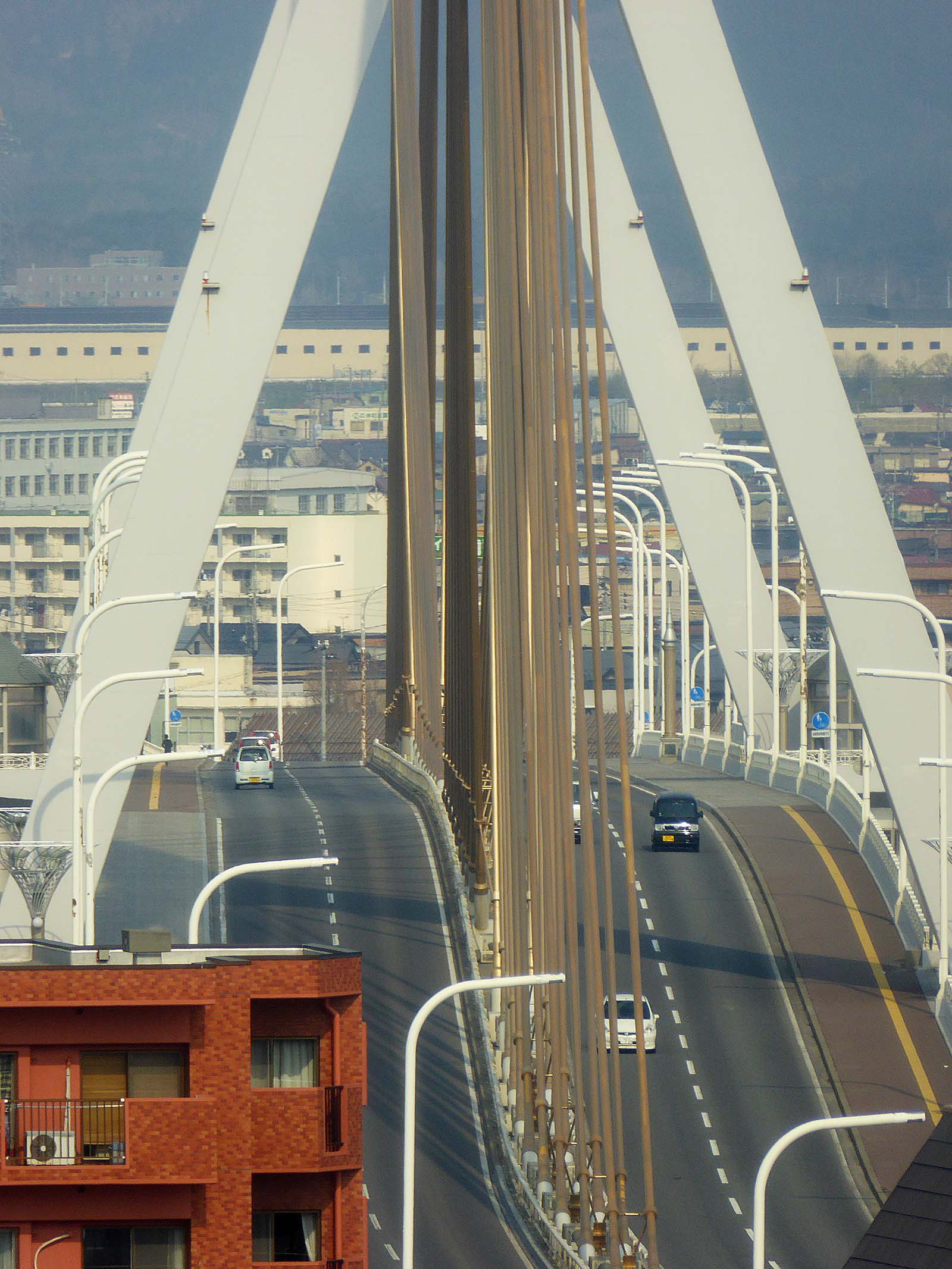
Aomori Bay Bridge
Little knownThe Aomori Bay Bridge (青森ベイブリッジ) is a 1.2-kilometer cable-stayed bridge spanning Aomori Harbor, completed in 1994 as par…
 yuukin / CC BY 3.0
Seikan Tunnel Museum
Little knownThe Seikan Tunnel (青函トンネル) is a 53.85-kilometer railway tunnel connecting Honshu (Aomori) to Hokkaido (Hakodate) beneath…
 D-Chillz / CC BY-SA 4.0
Takayama Inari Shrine
Little knownEveryone photographs the tunnel of torii at Fushimi Inari in Kyoto, packed shoulder to shoulder. Takayama Inari has some…
 ゆりのき橋 / CC BY 3.0
Jogakura Bridge
Little knownJogakura Bridge (城ヶ倉大橋) is a 360-meter-long arch bridge spanning Jogakura Gorge at a height of 122 meters, making it Jap…
 Gfievet / CC BY-SA 4.0
Tanesashi Coast
Little knownThe unusual thing about Tanesashi is that the grass runs to the rocks. Natural turf — grazed by horses for centuries, wh…