
หน้านี้ยังไม่ได้แปล จึงแสดงเป็นภาษาอังกฤษ
Akechidaira Ropeway
ค้นคว้าและเขียนโดย Hinato

Photo: Miyuki Meinaka / Wikimedia Commons (CC BY-SA 4.0) · original
The Akechidaira Ropeway is a 3-minute cable car that ascends 300 vertical meters from the Akechidaira Plateau to an observation deck at 1,375 meters elevation, offering 360-degree views over Lake Chuzenji, Kegon Falls, and the volcanic peaks of Nikko National Park — Mount Nantai (2,486m), Mount Nyoho (2,464m), and the Okunikko mountain range. The ropeway is one of the shortest in Japan (300m distance) but also one of the most scenic.
The top observation deck includes two levels: a covered indoor platform and an outdoor terrace. The view encompasses the entire Chuzenji caldera — the lake, surrounding forest, and the distant Kanto Plain stretching to the horizon. In autumn (late October), the mountainsides explode in red, orange, and yellow foliage, creating a tapestry of color visible from above. In winter, the lake and forests are snow-covered, and the air is crystalline. The ropeway is a quick, high-impact experience — maximum scenic reward for minimal effort.
ข้อมูลสำคัญ
เวลาเปิดทำการ
9:00 AM – 4:30 PM (standard) | Extended to 5:00 PM in summer and autumn foliage season
วันหยุด: Irregular closures December–March due to snow/ice — check Nikko official website before visiting
ค่าเข้าชม
¥800 round-trip adults; ¥400 children | Top observation deck: included in ropeway fare
ฤดูที่ดีที่สุด
Late October (peak autumn foliage, most dramatic panorama) | May (fresh green on mountainsides) | Clear winter days for snow-covered lake views
ระยะเวลาเที่ยวชม
30–45 minutes for ropeway ride and observation deck viewing; combine with Lake Chuzenji visit (10 min by bus)
การเดินทางไป
ข้อมูลการเดินทาง
คู่มือจากคนใน
สถานที่ใกล้เคียง
สถานที่ลับที่อยู่ใกล้ Akechidaira Ropeway มากที่สุด เรียงตามระยะทางเส้นตรง
 Joli Rumi / CC BY-SA 4.0
Lake Chuzenji & Kegon Falls
FamousLake Chuzenji sits at 1,269 meters in a volcanic caldera formed 20,000 years ago when Mount Nantai erupted and lava damm…
 Carlquist, Sherwin John, 1930-2021 / CC BY 4.0
Senjogahara Marshland
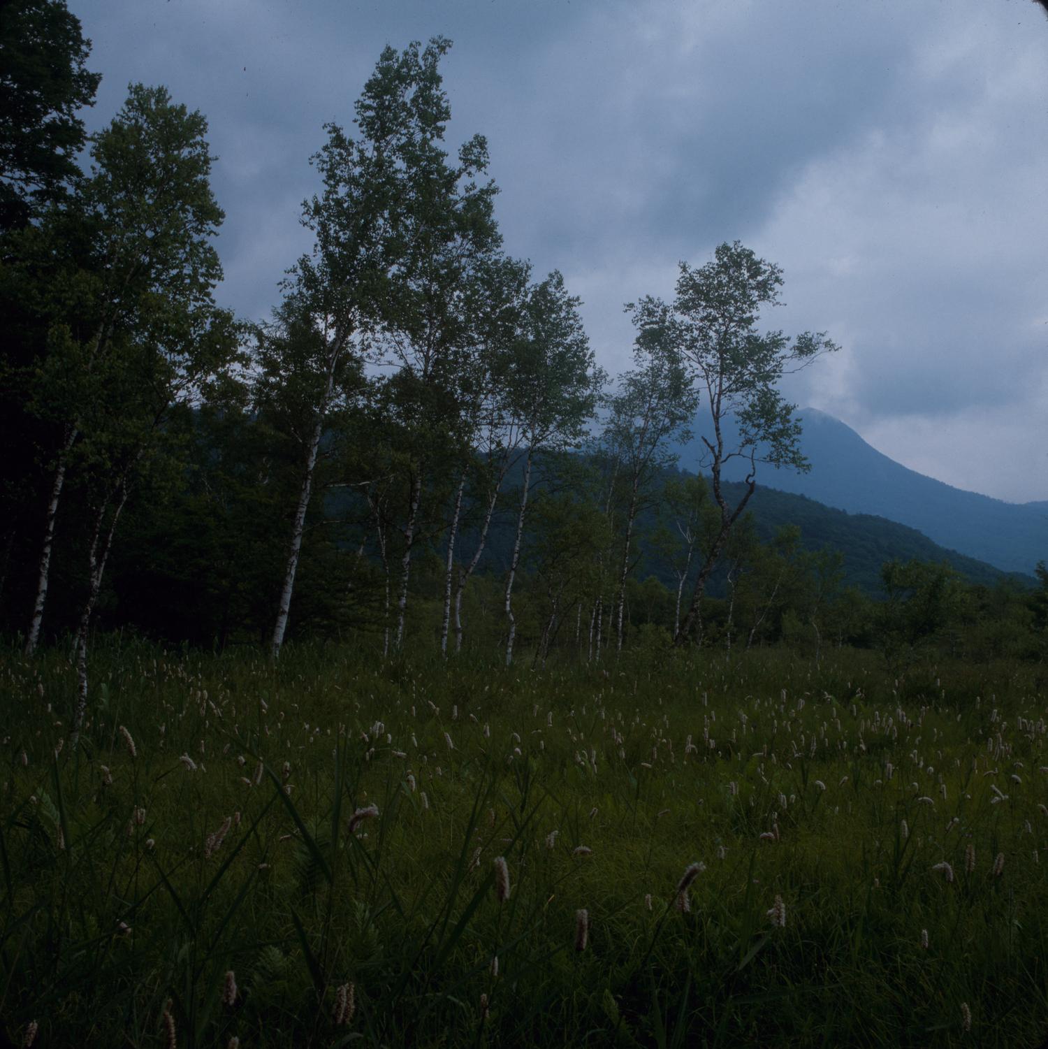
Locally knownSenjogahara is a 400-hectare highland wetland at 1,400 meters elevation, formed when volcanic lava flows blocked drainag…
 663highland / CC BY-SA 4.0
Kanmangafuchi Abyss
Locally knownA twenty-minute walk from the Toshogu crowds, on the far bank of the Daiya River, a lava gorge runs between the trees an…
Shinkyo Bridge
Locally knownShinkyo is a vermilion-lacquered wooden bridge that arcs over the Daiya River at the entrance to Nikko's shrine district…
 ภาพประกอบ (ไม่ใช่ภาพถ่าย)
Toshogu Shrine
FamousToshogu Shrine is the mausoleum of Tokugawa Ieyasu, the founder of the Tokugawa Shogunate, and represents the absolute z…
 ภาพประกอบ (ไม่ใช่ภาพถ่าย)
Nikko Tamozawa Imperial Villa
Locally knownTamozawa Imperial Villa was built in 1899 as a summer retreat for the Taisho Emperor (then Crown Prince Yoshihito) and h…
สถานที่อื่น ๆ ในจังหวัดโทจิงิ
Kinugawa Onsen
Locally knownKinugawa Onsen is a hot spring resort town in a narrow mountain gorge carved by the Kinugawa River. Discovered in the Ed…
 ภาพประกอบ (ไม่ใช่ภาพถ่าย)
Nasu Onsen
Little knownNasu Onsen is a collection of seven hot spring sources scattered across the volcanic slopes of Mount Nasu, a highland re…
Tochigi Kurazukuri
Little knownTochigi City was a prosperous merchant town during the Edo and Meiji periods, serving as a distribution hub for goods tr…