
หน้านี้ยังไม่ได้แปล จึงแสดงเป็นภาษาอังกฤษ
Kisakata Kujukushima
ค้นคว้าและเขียนโดย Hinato

Photo: 掬茶 / Wikimedia Commons (CC BY-SA 4.0) · original
Basho came to Kisakata in 1689 and wrote that Matsushima seems to smile while Kisakata seems to grieve. What he saw was a shallow lagoon scattered with more than a hundred pine-covered islets, considered the equal of Matsushima. In 1804 an earthquake lifted the whole basin more than two metres and the sea drained away.
The islands are still there. They stand in rice paddies now — low green mounds with pines on them, dotted across flat farmland with Mt. Chokai behind. For a few weeks in late spring, when the paddies are flooded before planting, water returns between them and you see approximately what Basho saw. Kanmanji temple at the centre is the starting point for a marked circuit, and the whole thing is a national Place of Scenic Beauty and Natural Monument.
ข้อมูลสำคัญ
เวลาเปิดทำการ
Open access
วันหยุด: Open year-round | The flooded-paddy effect is seasonal
ค่าเข้าชม
Free
ฤดูที่ดีที่สุด
Late April–early June, while the paddies are flooded
ระยะเวลาเที่ยวชม
60–90 minutes for the circuit
การเดินทางไป
ข้อมูลการเดินทาง
คู่มือจากคนใน
สถานที่ใกล้เคียง
สถานที่ลับที่อยู่ใกล้ Kisakata Kujukushima มากที่สุด เรียงตามระยะทางเส้นตรง
 wataru_95s / CC BY 4.0
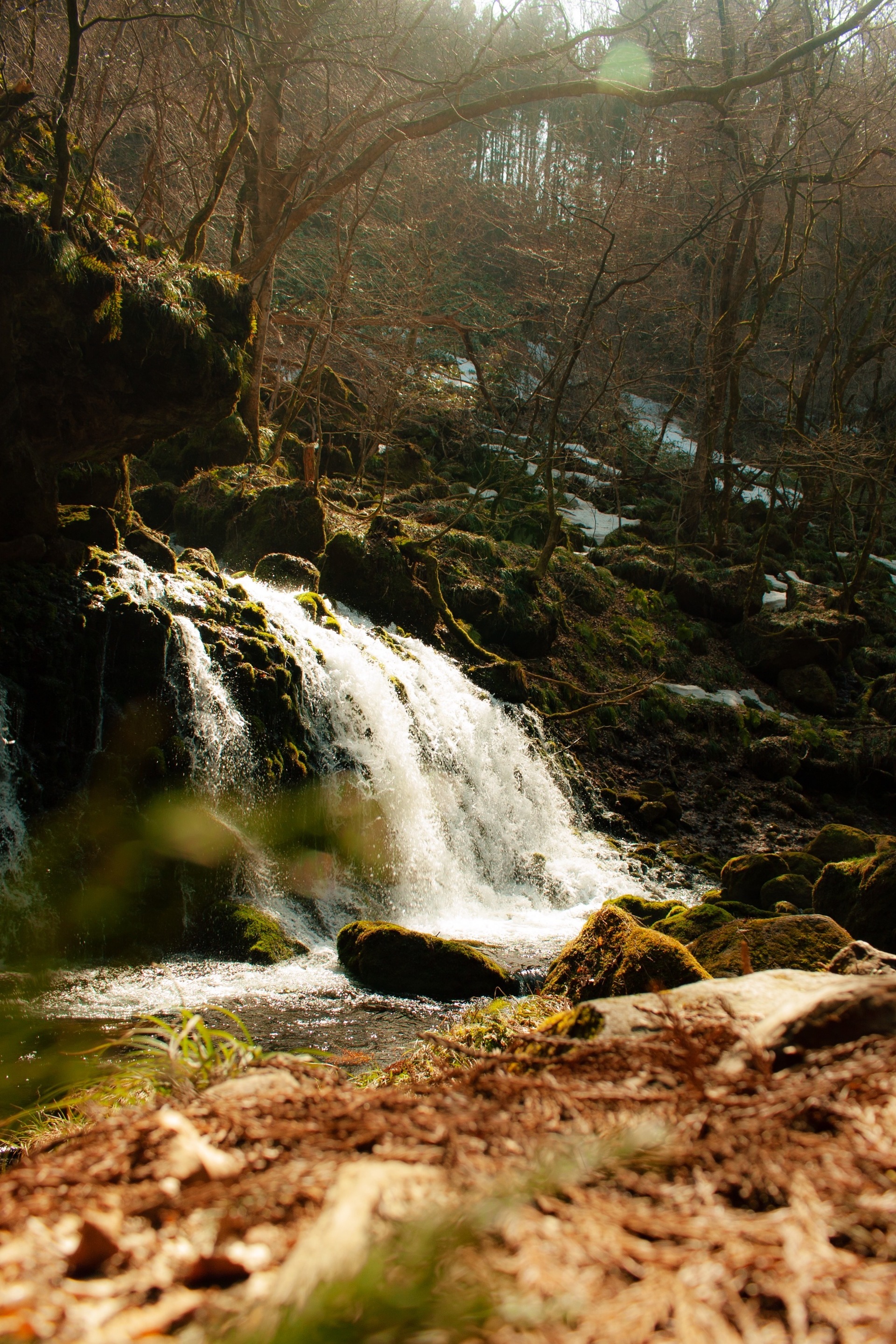
Mototaki Fukuryusui
Little knownRain and snowmelt on Mt. Chokai sink into the volcanic rock, travel underground for decades, and come out here — not ove…
 Yauchi / CC BY-SA 4.0
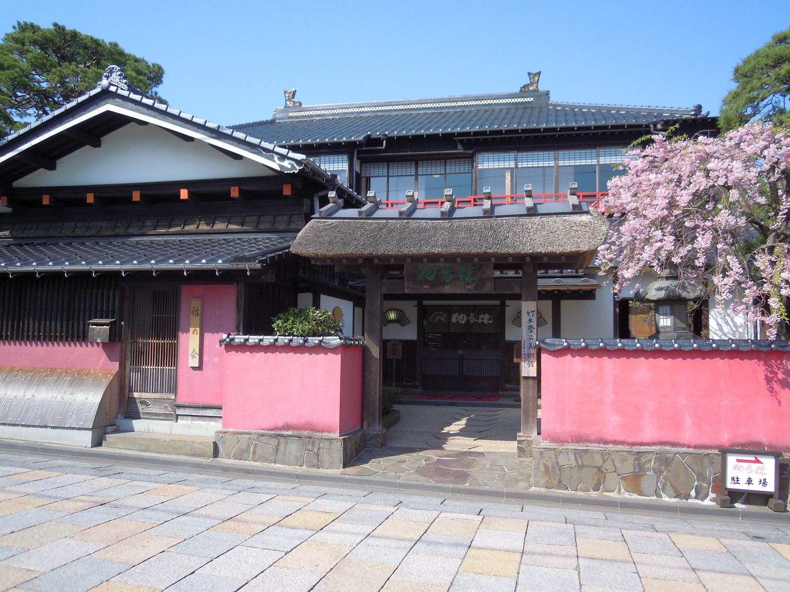
Sakata Somaro
Little knownSomaro (相馬樓) is a beautifully preserved Edo-period geisha house in the port city of Sakata, converted into a cultural mu…
Masuda Uchigura
Locally knownMasuda's merchants were rich on tobacco, silk and finance, and they built their storehouses inside their houses. An uchi…
 掬茶 / CC BY-SA 4.0
Dewa Sanzan
Well knownDewa Sanzan (出羽三山, 'Three Mountains of Dewa') comprises Mt. Haguro, Mt. Gassan, and Mt. Yudono — three sacred peaks that…
Mt. Haguro Five-Story Pagoda
Locally knownThe Mt. Haguro Five-Story Pagoda is a 29-meter tall wooden pagoda standing in a primeval cedar forest, considered one of…
 掬茶 / CC BY-SA 4.0
Yokote Kamakura Festival
Little knownThe Yokote Kamakura Festival (横手のかまくら) is a 450-year-old winter tradition held annually February 15-16, where the city c…
สถานที่อื่น ๆ ในจังหวัดอาคิตะ
 掬茶 / CC BY-SA 3.0
Goshogake Onsen
Little knownGoshogake sits at about a thousand metres on the western flank of Hachimantai in an area of active geothermal ground, an…
 Wc018 / CC BY-SA 4.0
Akita Nairiku Line
Little knownThe Akita Nairiku Line runs ninety-four kilometres north to south through the middle of the prefecture, from Takanosu to…
 掬茶 / CC BY-SA 4.0
Nyudozaki
Little knownThe northern tip of the Oga peninsula, where a treeless grass headland runs out to low cliffs and stops. There are no tr…