
Esta página aún no ha sido traducida y se muestra en inglés.
Senjogahara Marshland
Investigado y escrito por Hinato
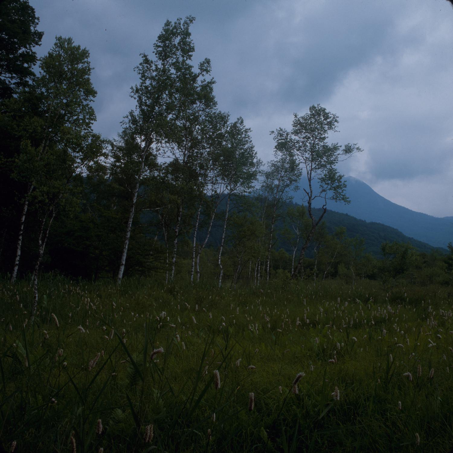
Photo: Carlquist, Sherwin John, 1930-2021 / Wikimedia Commons (CC BY 4.0) · original
Senjogahara is a 400-hectare highland wetland at 1,400 meters elevation, formed when volcanic lava flows blocked drainage valleys and created a waterlogged plateau. The marsh is covered in grasses, sedges, and dwarf shrubs, crossed by wooden boardwalk trails that allow access without damaging the fragile ecosystem. The landscape is wide-open, almost Scandinavian — low vegetation, distant mountains, big sky.
The main hiking trail is a 5.5-kilometer loop (2 hours) that traverses the marsh, crosses the Yukawa River on wooden bridges, and passes through birch and larch forest. The wetland hosts over 350 plant species and is a critical habitat for migratory birds. In autumn (late September–early October), the marsh grasses turn gold and crimson, creating a landscape of subtle, shifting color. The area is part of Nikko National Park and represents the wild, untouched side of Nikko — no temples, no crowds, just altitude, light, and silence.
Información esencial
Horario
Trail access: dawn to dusk | Open May–November | Ryuzu Falls teahouse: 10:00 AM – 4:00 PM
Cerrado: Closed November–April (snow covers boardwalks) | No facilities mid-trail; buses run seasonally
Entrada
Trail access: free | Ryuzu Falls teahouse (matcha and dango): ¥500–700
Mejor temporada
Late September–early October (marsh grasses turn gold and crimson, peak koyo) | June–July (wildflowers: swamp iris, cotton-grass) | May for fresh green beech forest
Duración de la visita
5.5 km loop: 2–2.5 hours | With Ryuzu Falls lunch: 3 hours | With Yumoto Onsen soak at end: 4–5 hours total
Cómo llegar
Información de acceso
Guía privilegiada
Lugares cercanos
Los lugares secretos más cercanos a Senjogahara Marshland, por distancia en línea recta.
 Miyuki Meinaka / CC BY-SA 4.0
Akechidaira Ropeway
Locally knownThe Akechidaira Ropeway is a 3-minute cable car that ascends 300 vertical meters from the Akechidaira Plateau to an obse…
 Joli Rumi / CC BY-SA 4.0
Lake Chuzenji & Kegon Falls
FamousLake Chuzenji sits at 1,269 meters in a volcanic caldera formed 20,000 years ago when Mount Nantai erupted and lava damm…
Hacchonoyu
Locally knownThere are four inns in the Okukinu hot spring group, at the head of the Kinugawa valley inside Nikko National Park, and…
 663highland / CC BY-SA 4.0
Kanmangafuchi Abyss
Locally knownA twenty-minute walk from the Toshogu crowds, on the far bank of the Daiya River, a lava gorge runs between the trees an…
 Ilustración: no es una fotografía
Toshogu Shrine
FamousToshogu Shrine is the mausoleum of Tokugawa Ieyasu, the founder of the Tokugawa Shogunate, and represents the absolute z…
Shinkyo Bridge
Locally knownShinkyo is a vermilion-lacquered wooden bridge that arcs over the Daiya River at the entrance to Nikko's shrine district…
Más en Prefectura de Tochigi
 663highland / CC BY 2.5
Sessho-seki
Little knownThe legend says that a nine-tailed fox, having failed to destroy the imperial court in the guise of a court lady, was hu…
 Suikotei / CC BY 4.0
Bato Hiroshige Museum
Little knownKengo Kuma built this museum in 2000, before he was internationally famous, and it is the building where his approach be…
SL Moka
Little knownThe Moka Railway is a 42-kilometre single-track line running east from Shimodate through rice country to Motegi, and at…