
Esta página aún no ha sido traducida y se muestra en inglés.
Stairway National Route 339
Investigado y escrito por Hinato
Prefectura de Aomori · Sotogahama
41.2564°N, 140.3423°E
National Route 339 runs up the Tsugaru peninsula to Cape Tappi, and for 388 metres of its length it is a flight of 362 concrete steps that no vehicle can use. It is the only stretch of national highway in Japan that is a staircase. The designation was made in 1974, reportedly from a map, and nobody has ever seen fit to correct it.
It climbs from the fishing harbour to the lighthouse on the headland, past houses with washing out and boats pulled up, with a national route marker at the top and the bottom in case you doubted it. Cape Tappi itself is the northern tip of the Tsugaru peninsula, wind-blasted, with the Tsugaru Strait in front and Hokkaido visible on a clear day. The Seikan Tunnel runs underneath, and there is a museum at the top about building it.
Información esencial
Horario
Open 24 hrs | Daylight recommended
Cerrado: Open year-round | Exposed and icy in winter
Entrada
Free | Free parking | Seikan Tunnel Memorial Museum charged separately
Mejor temporada
May–October for comfortable walking | Clear days for the Hokkaido view
Duración de la visita
45–60 minutes | 2 hours with the tunnel museum
Cómo llegar
Información de acceso
Guía privilegiada
Lugares cercanos
Los lugares secretos más cercanos a Stairway National Route 339, por distancia en línea recta.
 yuukin / CC BY 3.0
Seikan Tunnel Museum
Little knownThe Seikan Tunnel (青函トンネル) is a 53.85-kilometer railway tunnel connecting Honshu (Aomori) to Hokkaido (Hakodate) beneath…
 D-Chillz / CC BY-SA 4.0
Takayama Inari Shrine
Little knownEveryone photographs the tunnel of torii at Fushimi Inari in Kyoto, packed shoulder to shoulder. Takayama Inari has some…
Hotokegaura
Locally knownTwo kilometres of white volcanic tuff on the western shore of the Shimokita peninsula, eroded by wind and sea into tower…
Shayokan
Locally knownDazai Osamu wrote No Longer Human and The Setting Sun, drowned himself in 1948 at thirty-eight, and is read by essential…
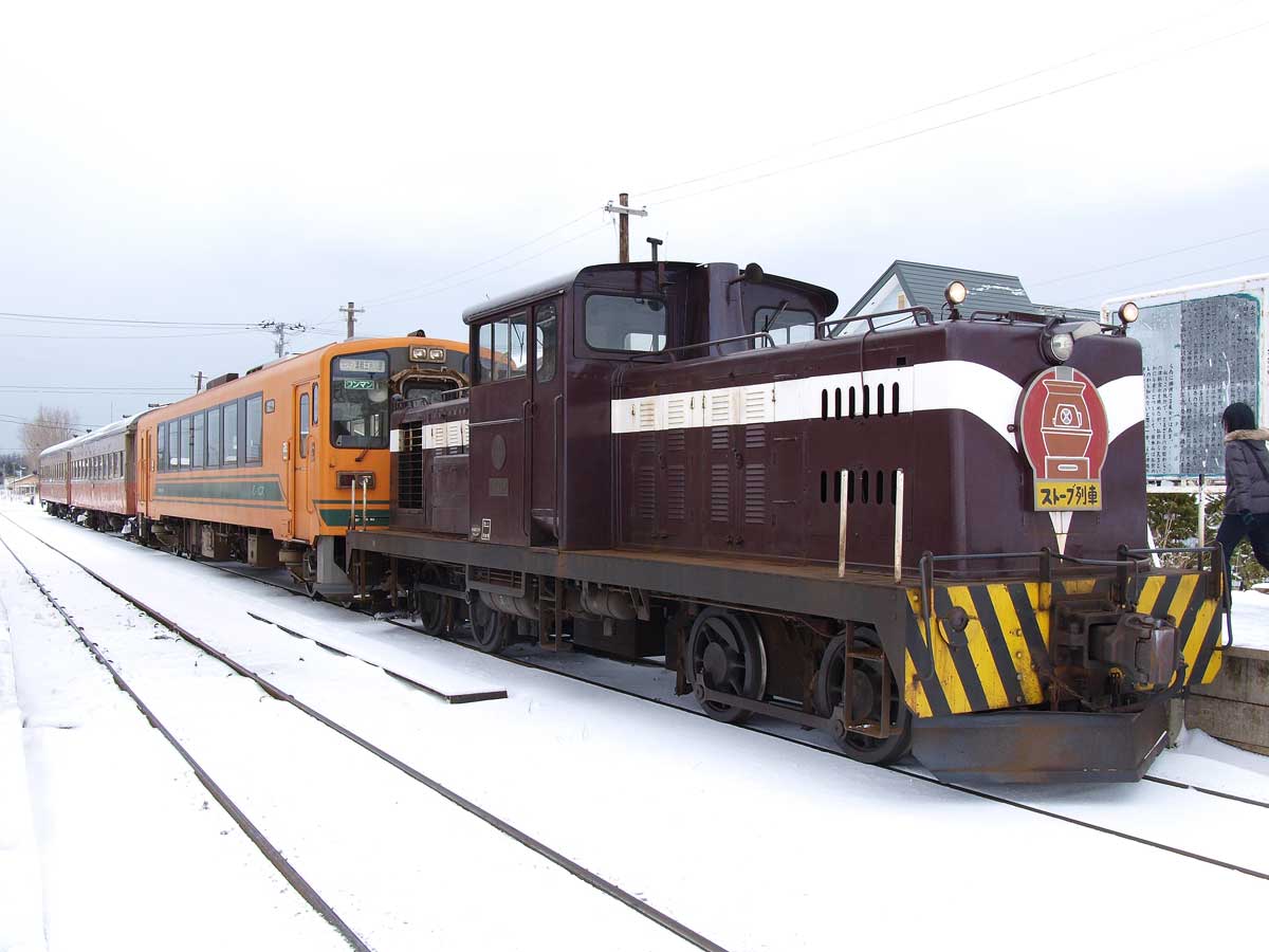 Amiden / CC BY-SA 3.0
Tsugaru Railway Stove Train
Little knownThe Tsugaru Railway runs twenty kilometres north from Goshogawara across the flat snow country of the Tsugaru plain, and…
 Tomokazu Kitjaima / CC BY-SA 3.0
Tachineputa Matsuri
Little knownGoshogawara Tachineputa Matsuri (立佞武多, held August 4-8) is Aomori's second great summer festival, featuring the world's…
Más en Prefectura de Aomori
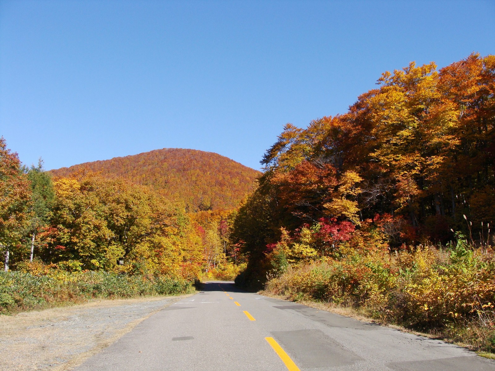 あおもりくま(aomorikuma) / CC BY-SA 3.0
Tsugaru-Iwaki Skyline
Little knownThe Tsugaru-Iwaki Skyline (岩木山スカイライン) is a 9.8-kilometer toll road ascending Mt. Iwaki (岩木山, 1,625m), Aomori's most icon…
 掬茶 / CC BY-SA 4.0
Nakamachi Komise Street
Locally knownKomise are covered wooden arcades built out from the front of a house over the public footway — a private roof over a pu…
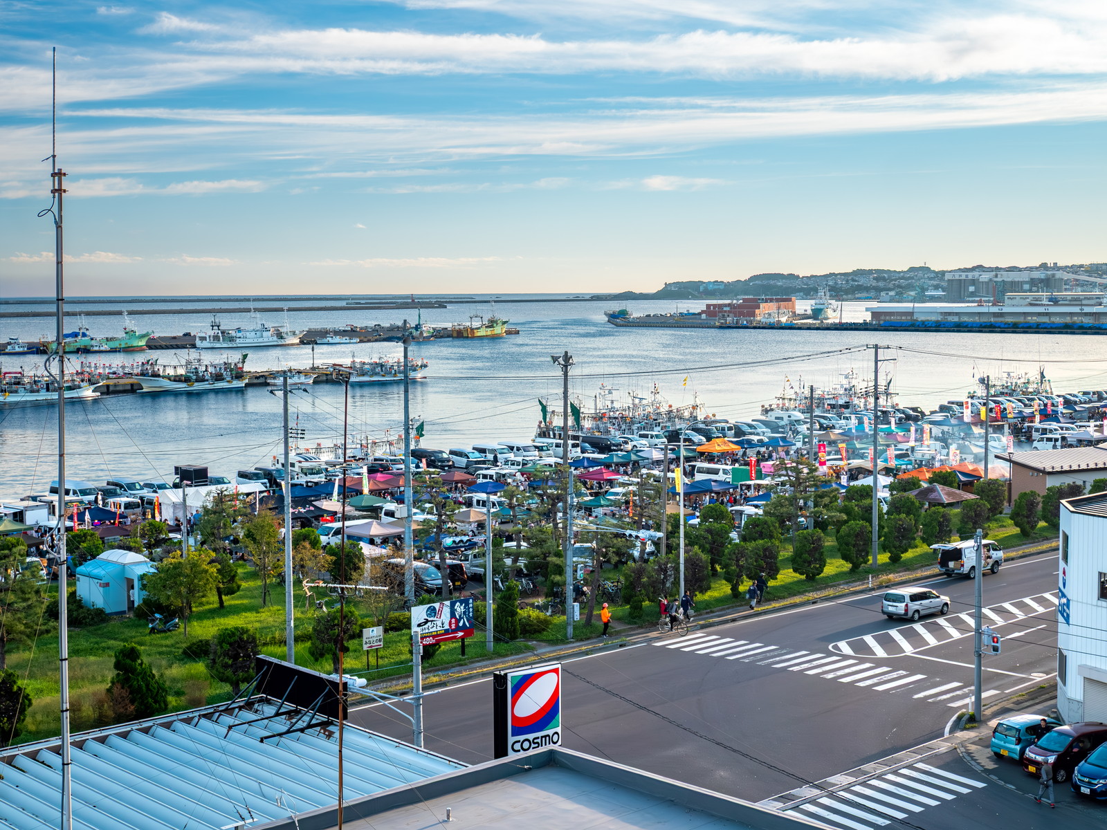 くろふね / CC BY 4.0
Tatehana Wharf Morning Market
Little knownEvery Sunday from March to December, more than three hundred stalls set up on a quay in Hachinohe fishing port and run f…