
Cette page n'a pas encore été traduite et s'affiche en anglais.
Cape Sata
Recherche et rédaction Hinato

Photo: Raita Futo from Tokyo, Japan / Wikimedia Commons (CC BY 2.0) · original
The southernmost point of mainland Japan, at 31 degrees north, on a headland of subtropical forest at the end of the Osumi peninsula.
The walk out is eight hundred metres through bougainvillea, cycads and banyan, which is not what most people expect of Honshu-adjacent Japan and is the reason the cape feels like an arrival rather than a viewpoint. The park was rebuilt in 2018 and is free. You can collect a certificate at the information centre confirming you reached the southernmost of Japan's four mainland extremities — free for one version, ¥300 for the other.
Informations essentielles
Horaires d'ouverture
Park open during daylight hours | Information centre keeps daytime hours
Fermé: Open year-round
Tarif d'entrée
Free | Southernmost-point certificate ¥300; four-extremities certificate free
Meilleure saison
Year-round | Winter mornings for the clearest island views
Durée de visite
1.5–2 hours including the walk
Comment s'y rendre
Informations d'accès
Guide d'initié
Lieux à proximité
Les lieux secrets les plus proches de Cape Sata, par distance à vol d'oiseau.
 Sanjo / CC BY-SA 4.0
Ogawa Falls
Little knownForty-six metres high and sixty wide, falling into a pool of an improbable emerald green enclosed by columnar basalt wal…
 Snap55 / CC BY 3.0
Lake Ikeda
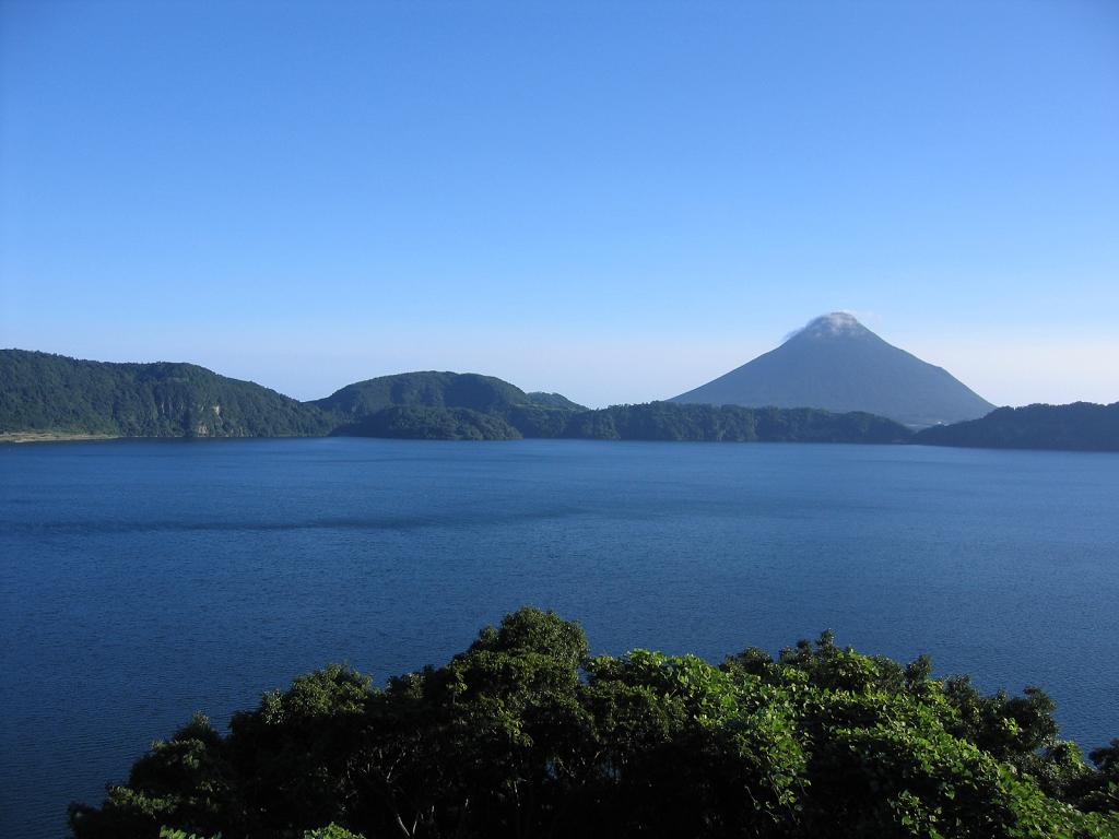
Well knownLake Ikeda (池田湖) is a volcanic caldera lake — the largest lake in Kyushu at 15km circumference — with Mt. Kaimon (開聞岳, 9…
 NY066 / CC BY-SA 3.0
Ibusuki Sand Bath
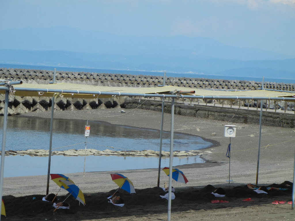
Well knownIbusuki is famous for sunamushi onsen (砂むし温泉) — hot sand baths where attendants bury visitors up to the neck in naturall…
Karasengorge Somen Nagashi
Little knownFlowing somen usually means a split bamboo chute down which noodles are sent past you once, with one chance to catch the…
 Ippukucho / CC BY 3.0
Arahira Tenjin
Little knownA small shrine to Sugawara no Michizane, the deity of learning, built on top of a rock outcrop just offshore in Kinko Ba…
 Illustration — il ne s'agit pas d'une photographie
Kanoya Rose Garden
Little knownKanoya Rose Garden (かのやばら園) is one of Japan's largest rose gardens with 50,000 bushes representing 1,500 varieties sprea…
Plus de lieux à Préfecture de Kagoshima
 Raita Futo from Tokyo, Japan / CC BY 2.0
Kagoshima City Aquarium
Locally knownKagoshima City Aquarium (いおワールドかごしま水族館) sits on the waterfront directly facing Sakurajima volcano, with the main Kuroshi…
 690 Noda / CC BY 3.0
Chiran Tea Fields
Well knownChiran produces some of Japan's highest-grade sencha green tea, grown on terraced hillsides south of the samurai distric…
 Sakurai Midori / CC BY 2.5
Satsuma-age
Locally knownSatsuma-age (さつま揚げ) is Kagoshima's signature fish cake — ground white fish mixed with brown sugar, sake, and miso, shape…