
Takayama Inari Shrine
Researched and written by Hinato

Photo: D-Chillz / Wikimedia Commons (CC BY-SA 4.0) · original
Everyone photographs the tunnel of torii at Fushimi Inari in Kyoto, packed shoulder to shoulder. Takayama Inari has something Fushimi does not: its gates run over open ground in a long serpentine curve, so you can stand above them and see the whole line snaking away in front of you like a red spine over the grass. It is the single best torii photograph in northern Japan and there is usually nobody in it.
The shrine sits on a low rise near the Sea of Japan coast in Tsugaru, worshipped for harvests, safety at sea and commerce. The torii line is not ancient — it was built up over roughly forty years — and it curves the way it does because it leads to a Ryujin-gu, a dragon deity hall, and the dragon shape was deliberate. There is a Japanese garden behind, and on a clear day Mt. Iwaki stands behind the whole arrangement.
Inari worship itself is one of the most widespread folk traditions in Japan, tied historically to rice cultivation and, by extension, to general prosperity, which is why Inari shrines are so common across the country and why individual gate donations — the mechanism by which a torii line like this one grows over decades — remain a living practice rather than a historical relic. Each gate at Takayama Inari was donated and dedicated individually, a pattern visible if you look closely at the inscriptions along the base of the pillars, and the slow accumulation of donated gates over roughly forty years is part of why the curve reads as organic rather than architecturally planned, even though the dragon-hall alignment behind it was intentional from the start. The coastal setting adds a dimension most inland Inari shrines lack: the shrine's original purpose included blessing the fishing and shipping trade along this stretch of the Sea of Japan, and the open, wind-exposed ground the torii line crosses is part of what keeps the site free of the crowding that has overtaken more famous gate tunnels elsewhere in the country.
Practical details
Opening Hours
8:00 AM – 5:00 PM
Closed: Open year-round
Entrance Fee
Free | Free parking
Best Season
Late April–October for the garden | Winter for red gates against snow
Visit Duration
60–90 minutes
Getting There
Access Information
Washinosawa, Ushigata-machi, Tsugaru. By car from Goshogawara Station on the JR Gonō Line. Parking for around 60 cars, extended to about 110 in peak periods, with a large lot in front of the shrine office that takes coaches.
Tips
Shoot from above, not from inside. Walking through the tunnel gives you the same view as a hundred other shrines; the elevation is what makes this one different.
Snow changes it completely. Red gates against deep snow, with the line still legible, is the winter version and the roads out here are driveable with proper tyres. Very few people come at that time of year.
Mt. Iwaki on a clear day. The Tsugaru plain's volcano stands behind the shrine when the air is clear, most reliably on cold bright mornings.
It is genuinely remote. Thirty minutes by car from Goshogawara and there is no useful public transport. Combine it with the Tsugaru Railway or Shayokan to justify the drive.
Book Your Stay Nearby
Find accommodation close to Takayama Inari Shrine on these trusted booking platforms:
Nearby Spots
The closest hidden gems to Takayama Inari Shrine, by straight-line distance.
 yuukin / CC BY 3.0
Seikan Tunnel Museum
Little knownThe Seikan Tunnel (青函トンネル) is a 53.85-kilometer railway tunnel connecting Honshu (Aomori) to Hokkaido (Hakodate) beneath…
 z tanuki / CC BY 3.0
Aomori Bay Bridge
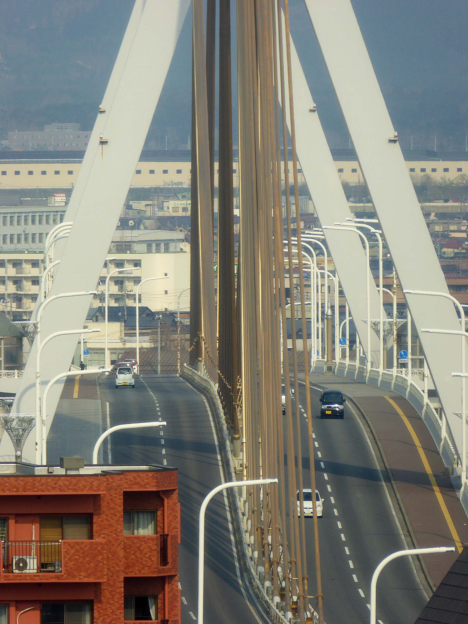
Little knownThe Aomori Bay Bridge (青森ベイブリッジ) is a 1.2-kilometer cable-stayed bridge spanning Aomori Harbor, completed in 1994 as par…
 ゆりのき橋 / CC BY 3.0
Jogakura Bridge
Little knownJogakura Bridge (城ヶ倉大橋) is a 360-meter-long arch bridge spanning Jogakura Gorge at a height of 122 meters, making it Jap…
 あおもりくま / CC BY-SA 3.0
Mount Osore
Little knownMount Osore (恐山, Osorezan — 'Dread Mountain') sits on Shimokita Peninsula as one of Japan's three holiest Buddhist sites…
 Wc018 / CC BY-SA 4.0
Akita Nairiku Line
Little knownThe Akita Nairiku Line runs ninety-four kilometres north to south through the middle of the prefecture, from Takanosu to…
 Gfievet / CC BY-SA 4.0
Tanesashi Coast
Little knownThe unusual thing about Tanesashi is that the grass runs to the rocks. Natural turf — grazed by horses for centuries, wh…